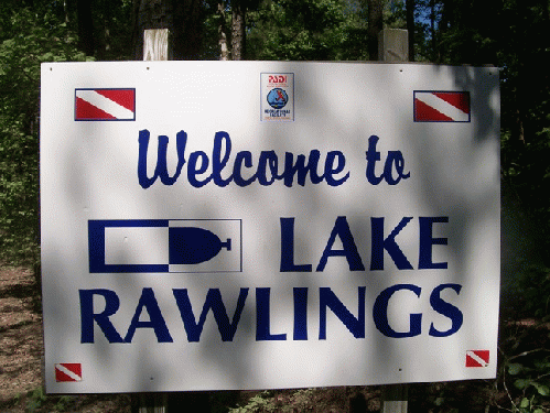
On the Fourth of July, I took off for Lake Rawlings, close to Emporia in south central Virginia, getting up early and driving for two plus hours from Norfolk via the scenic route, which included meandering down U.S. Route 460 and State Route VA 40 before hopping I-85 near Petersburg and then U.S. Route 1. These various highways took me through a lot of rural Virgina, small towns, forests and farmlands before I finally ended up bouncing down a dirt road called Quarry Lane, at the end of which is one of Virginia's little treasures, Lake Rawlings.
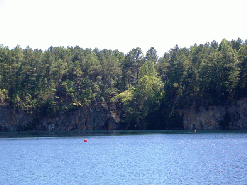
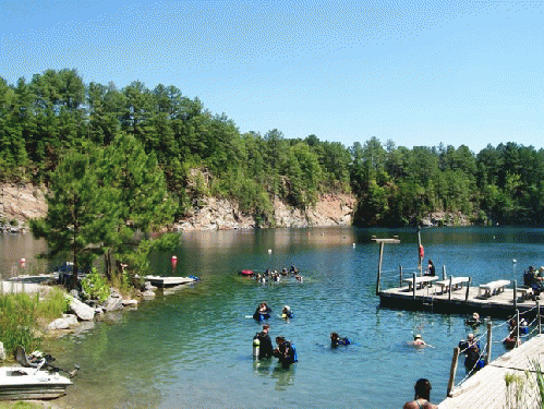
Lake Rawlings, rated as one of the top dive sites in America by at least one national diving publication, is, to quote from their website, "a spring-fed lake with a bottom composition of mostly granite rock, and 80% of the shoreline is also granite rock. Most of the water enters from the west and south walls at depths between 20' to 40'. With so much granite rock, it is no wonder why the water remains so clear. For this reason, the sunlight penetrates to the bottom and warms the water quickly during the spring, summer and fall. This causes the thermocline (a transitional layer of warmer and colder water) to push deep very quickly. Average visibility at Lake Rawlings year-round is 30'-60'; during the winter, visibility is awesome and can be 100' or more." (source)
This rather fair-sized lake is quite challenging and fascinating, because not only do you get good to great visibility, but you experience swimming from bathtub surface warmth in the hot of summer on down to hypothermia-capable cold as you plunge below 25 to 30 feet. And parts of the lake are fairly deep for SCUBA divers.
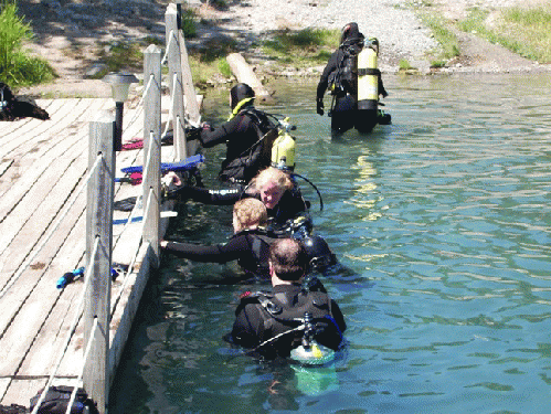
I was there to practice compass navigation skills, the lake being a great place for that because various "artifacts" have been sunken in Rawlings over time, boats, vans, an airplane, to name a few, all buoyed so you know where to locate them, but also a great opportunity to hunt for them via compass, after you 1) take a heading of the appropriate buoy on the surface, 2) set your compass index mark to true north, and then 3) try to swim toward your goal by keeping your compass index mark on true north.
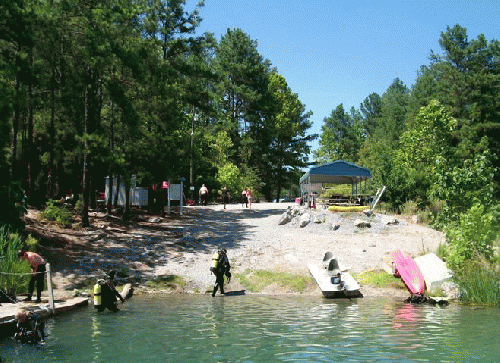
For this Fourth of July, the lake was perfect, hot though not too humid and not a ton of people to crawl over and through, in or out of the water. Actually, a number of people on the grounds were off picnicking and camping, because the facility is a camp site too.
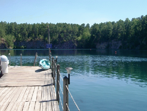
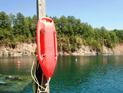
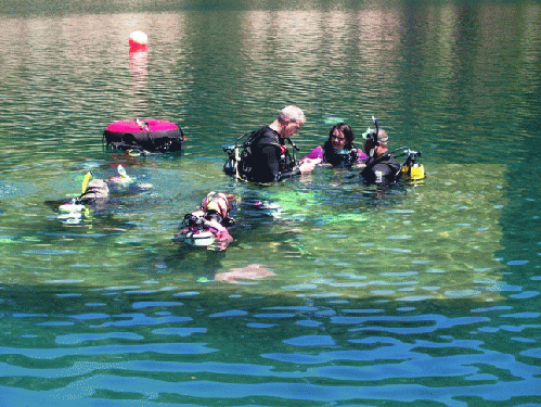
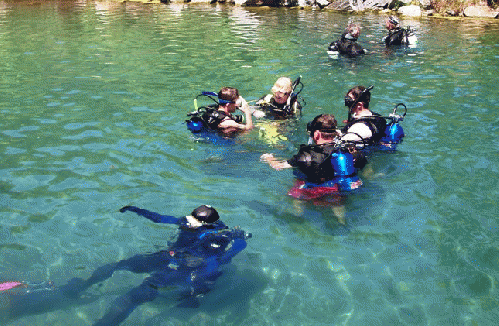
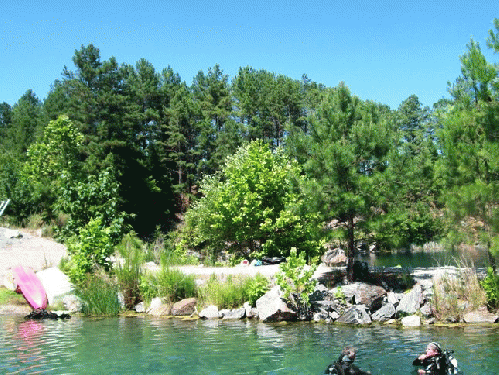
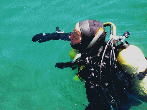
Be that as it may, here are a few photos from my day at one of Virginia's hidden jewels:
Part Two will take us back up rural highways 1, 85, 40 and 460 for some rustic shots of old Virginia.


